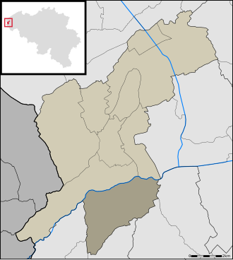
Stavele is a village in the Belgian province of West Flanders and is a submunicipality of Alveringem along the Yser. It was an independent municipality until 1970. It covers an area of 1,263 ha (3,120 acres) and had 825 inhabitants in 1970.1
History
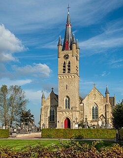
Stavele was first mentioned in 1110 as "Stafala". It was a parish in 1155. It was an important lordship, dependent on the castle of Veurne.12
References
References
- "Stavele". Flanders Heritage Agency (in Dutch). Retrieved 9 April 2025.
- Stavele
50°56′22″N 2°40′21″E / 50.93944°N 2.67250°E / 50.93944; 2.67250