Sankt Leon-Rot | |
|---|---|
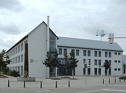 Town hall | |
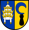 Coat of arms | |
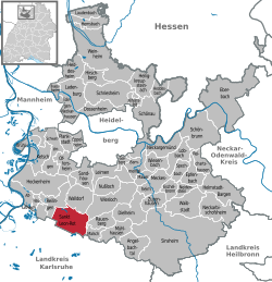
Location of Sankt Leon-Rot
within Rhein-Neckar-Kreis district | |
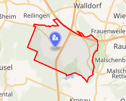 Location of Sankt Leon-Rot | |
Sankt Leon-Rot Sankt Leon-Rot | |
| Coordinates: 49°15′55″N 08°35′55″E / 49.26528°N 8.59861°E / 49.26528; 8.59861 | |
| Country | Germany |
| State | Baden-Württemberg |
| Admin. region | Karlsruhe |
| District | Rhein-Neckar-Kreis |
| Government | |
| • Mayor (2022–30) | Alexander Eger1 |
| Area | |
• Total | 25.56 km2 (9.87 sq mi) |
| Elevation | 107 m (351 ft) |
| Population (2024-12-31)2 | |
• Total | 13,979 |
| • Density | 546.9/km2 (1,416/sq mi) |
| Time zone | UTC+01:00 (CET) |
| • Summer (DST) | UTC+02:00 (CEST) |
| Postal codes | 68789 |
| Dialling codes | 06227 |
| Vehicle registration | HD |
| Website | www.st-leon-rot.de |
Sankt Leon-Rot is a municipality in the district of Rhein-Neckar-Kreis, in Baden-Württemberg, Germany. It is situated 16 km south of Heidelberg.

Geographical location
Sankt Leon-Rot is located in the Kraichbach lowlands, belonging to the Upper Rhine Graben. It is part of the Rhine-Neckar metropolitan region.
References
References
- Bürgermeisterwahl St. Leon-Rot 2022, Staatsanzeiger.
- "Tabellengruppe 12411: Fortschreibung des Bevölkerungsstandes zum 31. Dezember 2024" [Update of the population as of 31 December 2024] (in German). Statistisches Landesamt Baden-Württemberg.