| Simpsons Gap | |
|---|---|
 Simpsons Gap in the West MacDonnell Ranges | |
| Location | Burt Plain, Northern Territory1 |
| Range | MacDonnell Ranges |
| Coordinates | 23°40′32″S 133°43′07″E / 23.675655°S 133.718561°E / -23.675655; 133.7185611 |
Location in the Northern Territory | |
Simpsons Gap (Arrernte: Rungutjirpa) is one of the gaps in the West MacDonnell Ranges in Australia's Northern Territory. It is located 18 kilometres west from Alice Springs, on the Larapinta Trail.2
The gap is home to various plants and wildlife, including the black-footed rock-wallaby. It is the site of a permanent waterhole.
History
Rungutjirpa is an important spiritual place for the Arrernte people, who have inhabited the Arrernte area since before European discovery. It was later visited by surveyor Gilbert Rotherdale McMinn in 1871 while he was searching for a better route for the Overland Telegraph Line.3
Tourism
Section 1 of the Larapinta Trail begins at Alice Springs Telegraph Station and ends at the waterhole at Rungutjirpa.4
Gallery
-
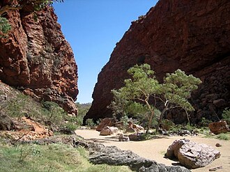
 Leaving Simpsons Gap
 -
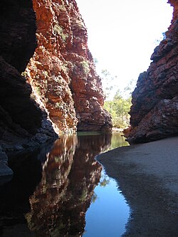 Waterhole at Rungutjirpa
 -
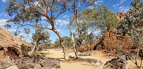
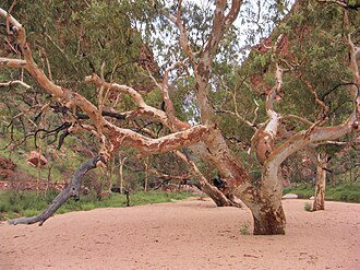 Gum at Simpsons Gap
 -
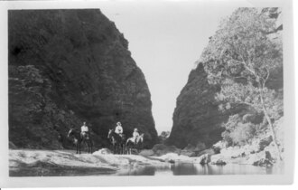 Simpons Gap, date unknown
 -
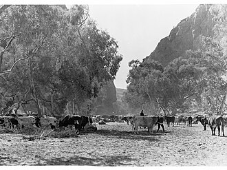 Cattle at Simpsons Gap, c.1935
 -
 Simpsons Gap, c.1940s
 -
 The pinnacle at Simpsons Gap in 1941
References
References
- "Place Names Register Extract for "Simpsons Gap"". NT Place Names Register. Northern Territory Government. Retrieved 5 April 2020.
- www.macdonnellranges.com. "About Simpsons Gap Alice Springs |Where is Simpsons Gap from Alice Springs". www.macdonnellranges.com. Retrieved 2 August 2016.
- "The Overland Telegraph". South Australian Register. 20 April 1871. p. 5. Retrieved 31 July 2017.
- www.macdonnellranges.com. "Larapinta Trail walking itineraries and area information". www.macdonnellranges.com. Retrieved 2 August 2016.