Razvor | |
|---|---|
Village | |
![Erdödy Manor in Razvor was built around 1780s.[1]](/weird-wikipedia/img/c/36/36b32f2cd30a9235.jpg) Erdödy Manor in Razvor was built around 1780s.1 | |
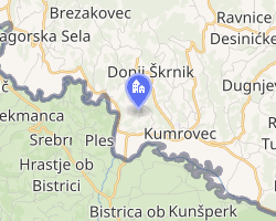 Interactive map of Razvor | |
| Country | |
| County | Krapina-Zagorje County |
| Area | |
• Total | 2.2 km2 (0.85 sq mi) |
| Population (2021)3 | |
• Total | 186 |
| • Density | 85/km2 (220/sq mi) |
| Time zone | UTC+1 (CET) |
| • Summer (DST) | UTC+2 (CEST) |
Razvor is a village in Croatia. It is connected by the D205 highway.
References
References
- "Sights – Kumrovec".
- Register of spatial units of the State Geodetic Administration of the Republic of Croatia. Wikidata Q119585703.
- "Population by Age and Sex, by Settlements" (xlsx). Census of Population, Households and Dwellings in 2021. Zagreb: Croatian Bureau of Statistics. 2022.
46°04′52″N 15°39′54″E / 46.08111°N 15.66500°E / 46.08111; 15.66500