Pontavert | |
|---|---|
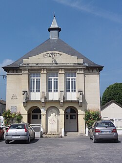 Town hall | |
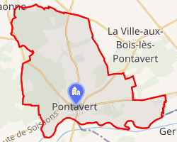 Location of Pontavert | |
Pontavert Pontavert | |
| Coordinates: 49°24′28″N 3°49′15″E / 49.4078°N 3.8208°E / 49.4078; 3.8208 | |
| Country | France |
| Region | Hauts-de-France |
| Department | Aisne |
| Arrondissement | Laon |
| Canton | Villeneuve-sur-Aisne |
| Intercommunality | Champagne Picarde |
| Government | |
| • Mayor (2020–2026) | Angélique Dewulf1 |
Area 1 | 13.37 km2 (5.16 sq mi) |
| Population (2023)2 | 605 |
| • Density | 45.3/km2 (117/sq mi) |
| Time zone | UTC+01:00 (CET) |
| • Summer (DST) | UTC+02:00 (CEST) |
| INSEE/Postal code | 02613 /02160 |
| Elevation | 47–120 m (154–394 ft) (avg. 53 m or 174 ft) |
| 1 French Land Register data, which excludes lakes, ponds, glaciers > 1 km2 (0.386 sq mi or 247 acres) and river estuaries. | |
Pontavert (French pronunciation: [pɔ̃tavɛʁ]) is a commune in the Aisne department in Hauts-de-France in northern France.
Population
| Year | Pop. | ±% p.a. |
|---|---|---|
| 1968 | 268 | — |
| 1975 | 282 | +0.73% |
| 1982 | 296 | +0.69% |
| 1990 | 416 | +4.35% |
| 1999 | 444 | +0.73% |
| 2007 | 608 | +4.01% |
| 2012 | 590 | −0.60% |
| 2017 | 610 | +0.67% |
| 2023 | 605 | −0.14% |
| Source: INSEE3 | ||
References
References
- "Répertoire national des élus: les maires". data.gouv.fr, Plateforme ouverte des données publiques françaises (in French). 2 December 2020.
- "Populations de référence 2023" (in French). National Institute of Statistics and Economic Studies. 18 December 2025.
- Population municipale entre 1968 et 2023, INSEE