Planitero
Πλανητέρο | |
|---|---|
Planitero | |
| Coordinates: 37°56′27″N 22°09′53″E / 37.94083°N 22.16472°E / 37.94083; 22.16472 | |
| Country | Greece |
| Administrative region | Western Greece |
| Regional unit | Achaea |
| Municipality | Kalavryta |
| Municipal unit | Kleitoria |
| Population (2021)1 | |
• Community | 151 |
| Time zone | UTC+2 (EET) |
| • Summer (DST) | UTC+3 (EEST) |
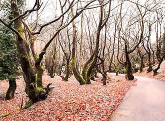

Planitero (Greek: Πλανητέρο) is a mountain village in the municipal unit of Kleitoria, Achaea, Greece. It is situated in the southwestern part of the Chelmos (Aroania) mountains. Its elevation is 700 m. Planitero is 1.5 km north of Armpounas, 6 km northeast of Kleitoria and 12 km southeast of Kalavryta. The source of the river Aroanios is near Planitero.
Population
| Year | Population |
|---|---|
| 1981 | 276 |
| 1991 | 258 |
| 2001 | 354 |
| 2011 | 197 |
| 2021 | 151 |
References
References
- "Αποτελέσματα Απογραφής Πληθυσμού - Κατοικιών 2021, Μόνιμος Πληθυσμός κατά οικισμό" [Results of the 2021 Population - Housing Census, Permanent population by settlement] (in Greek). Hellenic Statistical Authority. 29 March 2024.