Moodiarrup | |
|---|---|
Moodiarrup | |
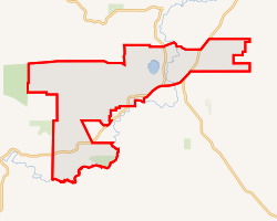 Interactive map of Moodiarrup | |
| Coordinates: 33°36′25″S 116°44′20″E / 33.60694°S 116.73889°E / -33.60694; 116.73889 | |
| Country | Australia |
| State | Western Australia |
| LGA | |
| Government | |
| • State electorate | |
| • Federal division | |
| Area | |
• Total | 156.4 km2 (60.4 sq mi) |
| Elevation | 251 m (823 ft) |
| Population | |
| • Total | 63 (SAL 2021)2 |
| Postcode | 6393 |
Moodiarrup is a locality in Western Australia, located to the south of Darkan within the Shire of West Arthur. The locality is situated at an average elevation of 251 metres above sea level.3 As of the 2021 Australian census, it had a population of 63.4
References
References
- Australian Bureau of Statistics (28 June 2022). "Moodiarrup (suburb and locality)". Australian Census 2021 QuickStats. Retrieved 28 June 2022.
- Australian Bureau of Statistics (28 June 2022). "Moodiarrup (suburb and locality)". Australian Census 2021 QuickStats. Retrieved 28 June 2022.
- "Moodiarrup topographic map, elevation, terrain". Topographic maps. Retrieved 8 December 2023.
- "2021 Moodiarrup, Census All persons QuickStats". Australian Bureau of Statistics. Retrieved 8 December 2023.