| Lyracappul | |
|---|---|
| Ladhar an Chapaill | |
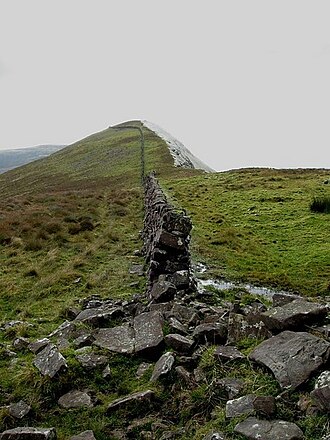 The wall on the summit | |
| Highest point | |
| Elevation | 825 m (2,707 ft)1 |
| Prominence | 100 m (330 ft)1 |
| Listing | Hewitt, Marilyn |
| Coordinates | 52°21′38″N 8°13′38″W / 52.360427°N 8.227342°W / 52.360427; -8.227342 |
| Naming | |
English translation | fork/confluence of the horse |
Language of name | Irish |
| Geography | |
Lyracappul Location in Ireland | |
| Location | County Limerick, Ireland |
| Parent range | Galtee Mountains |
| OSI/OSNI grid | R878238 |
| Topo map | OSi Discovery 74 |
Lyracappul (Irish: Ladhar an Chapaill, meaning 'fork/confluence of the horse') is a mountain in County Limerick in Ireland. At a height of 825 metres (2,707 ft) it is the second highest of the Galtee Mountains and the 29th highest peak in Ireland.1 Lyracappul is the second highest point in County Limerick.1