Kunihar | |
|---|---|
Town | |
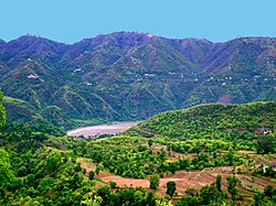 View of Kunihar valley | |
| Nickname: Choti Vilayat | |
Kunihar Kunihar | |
| Coordinates: 31°04′44″N 76°57′43″E / 31.07889°N 76.96194°E / 31.07889; 76.96194 | |
| Country |  India India |
| State | Himachal Pradesh |
| District | Solan |
| Languages | |
| • Official | Hindi |
| • Native | Mahasu Pahari (Baghati) (Baghliani) |
Kunihar is a valley town in Solan district of the Indian state of Himachal Pradesh. Kunihar is situated alongside Kuni Rivulet, a small river in the shape of garland (har), hence the name.
Location
Kunihar is situated 38 km from Shimla (going on the way to the Jubarhatti Airport) and 39 km from Solan (going via Sabathu).
History
Kunihar was founded in 1154 by Abhoj Dev. .1 The rulers of the state used the title of 'Thakur'.
Rulers
The rulers bore the title of Thakur.23
- 1815 - 1816 Mungri Das
- 1816 - 1866 Kishen Singh
- 1866 - 1905 Tegh Singh
- 1905 - 15 Aug 1947 Hardev Singh.
Gallery
-
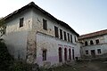 Palace of Kunihar
 -
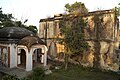 Temple and back side view of palace of Kunihar
 -
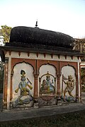 Temple in palace of Kunihar Princely State
 -
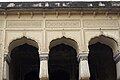 Palace of Kunihar Princely State
References
References
- "Indian states before 1947 K-W".
- "Indian states before 1947 K-W". www.rulers.org. Retrieved 25 August 2019.
- "Indian Princely States K-Z". www.worldstatesmen.org. Retrieved 25 August 2019.