Costerfield | |
|---|---|
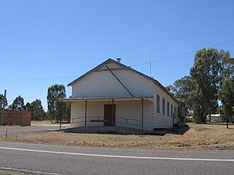 Public hall at Costerfield, 2008 | |
Costerfield | |
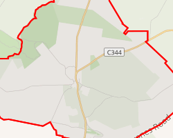 Interactive map of Costerfield | |
| Coordinates: 36°52′31″S 144°47′45″E / 36.87528°S 144.79583°E / -36.87528; 144.79583 | |
| Country | Australia |
| State | Victoria |
| City | Bendigo |
| LGA | |
| Location | |
| Government | |
| • State electorate | |
| • Federal division | |
| Population | |
| • Total | 75 (2016 census)2 |
| Postcode | 35233 |
Costerfield is a locality the City of Greater Bendigo, Victoria, Australia. The locality is 126 kilometres (78 mi) north of the state capital, Melbourne and 12 km north-east of Heathcote. At the 2016 census, Costerfield had a population of 75.2
History
Costerfield is a combination of the surnames of Alan Coster and Edwin Field, prospectors who found gold in the locality in 1861.4
An Anglican school was opened in 1862 and closed in 1950. It was then reopened in 1962 and closed in 1992.4
References
References
- Australian Bureau of Statistics (28 June 2022). "Costerfield (suburb and locality)". Australian Census 2021 QuickStats. Retrieved 28 June 2022.
- Australian Bureau of Statistics (27 June 2017). "Costerfield". 2016 Census QuickStats. Retrieved 3 August 2017.
- "3523 Postcode - Australia Post". Australia Post. Retrieved 31 January 2026.
- "Costerfield | Victorian Places". Retrieved 31 January 2026.