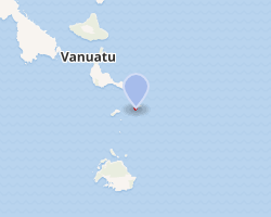
 Interactive map of Buninga | |
| Geography | |
|---|---|
| Location | Pacific Ocean |
| Coordinates | 17°2′S 168°35′E / 17.033°S 168.583°E / -17.033; 168.583 |
| Archipelago | Vanuatu |
| Highest elevation | 209 m (686 ft) |
| Administration | |
| Province | Shefa Province |
| Demographics | |
| Population | 112 (2015) |

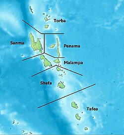
Buninga Island is an inhabited island in Shefa Province of Vanuatu in the Pacific Ocean. The island is a part of Shepherd Islands archipelago.12
Geography
Buninga Island lies 2 km south-west of Tongariki Island. The island is 1.5 km in diameter.3 The estimated terrain elevation above the sea level is some 209 metres.4
Population
As of 2015, the official local population was 112 people in 23 households.5
References
References
- "Buninga: Vanuatu". Geographic Names. Retrieved 9 August 2018.
- "Shepherd Islands". Vanuatu Travel. Retrieved 9 August 2018.
- "Shepherd group of islands". Vanuatu Islands Travel Info. Retrieved 9 August 2018.
- "Buninga Island". Mapcarta. Retrieved 9 August 2018.
- "2015 Vanuatu National Population and Households Projections by Province and Islands" (PDF). Vanuatu National Statistics Office. Retrieved 9 August 2018.