| Wisper | |
|---|---|
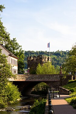 Wisper at Lorch | |
 | |
| Location | |
| Country | Germany |
| State | Hesse |
| Physical characteristics | |
| Source | |
| • location | Taunus |
| Mouth | |
• location | Rhine |
• coordinates | 50°02′34″N 7°48′05″E / 50.0429°N 7.8014°E / 50.0429; 7.8014 |
| Length | 29.7 km (18.5 mi) 1 |
Basin size | 209 km2 (81 sq mi) 1 |
| Basin features | |
| Progression | Rhine→ North Sea |
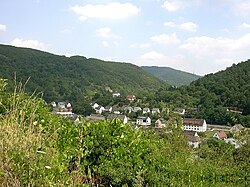
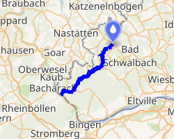
The Wisper is a 29.7-kilometre-long (18.5 mi) river in Hesse, Germany, right tributary of the Rhine. Its source is in the western Taunus, Rheingau-Taunus-Kreis district, near a small village named Wisper (municipality Heidenrod). It flows southwest through a densely forested valley with some medieval castle ruins surrounded by a popular hiking area. A man-made lake, the Wispersee, is stocked with trout and is a popular fishing destination. The Wisper flows into the Rhine at Lorch.
The river ran through the temporary state Free State Bottleneck from 1919 to 1923.