| Weingartensee | |
|---|---|
Weingartensee Weingartensee Weingartensee Weingartensee Weingartensee | |
| Location | Valais |
| Coordinates | 46°03′48″N 7°50′20″E / 46.0633°N 7.8389°E / 46.0633; 7.8389 |
| Basin countries | Switzerland |
Surface area | 0.64 ha (1.6 acres)1 |
Surface elevation | 3,058 m (10,033 ft)2 |
| Location | |
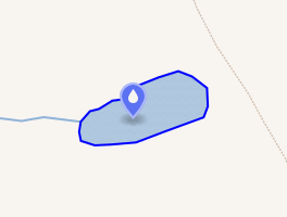 Interactive map of Weingartensee | |
The Weingartensee is a small lake located east of Täsch at the foot of the Alphubel, in the Swiss canton of Valais. The lake has a surface area of 0.64 ha and is located at 3,058 metres above sea level. It lies near the bottom of the Weingartengletscher glacier.
Following the flood of June 2001, a dam was built and the water level was slightly reduced.3
References
References
- Area retrieved from Google Earth (July 2013)
- Height retrieved from the Swisstopo topographic maps
- Weingarten glaciology.ethz.ch