| Webb River | |
|---|---|
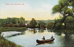 Scene at Dixfield in 1910 | |
 | |
| Location | |
| Country | United States |
| Physical characteristics | |
| Source | |
| • location | Maine |
The Webb River is a 16.8-mile-long (27.0 km)1 river in western Maine. It is a tributary of the Androscoggin River, which flows to the Kennebec River and ultimately the Atlantic Ocean.
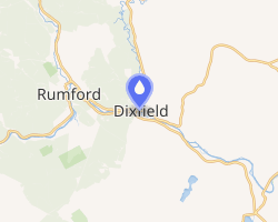
The Webb River begins at the outlet of Webb Lake near the southern border of the town of Weld and flows south, quickly entering the town of Carthage, where it turns southwest, then south again. The southernmost 6 miles (10 km) of the river forms the boundary between the towns of Mexico and Dixfield. The river enters the Androscoggin just west of the village of Dixfield. The entire course of the river is paralleled by Maine Route 142.
References
References
- U.S. Geological Survey. National Hydrography Dataset high-resolution flowline data. The National Map, accessed June 30, 2011
- U.S. Geological Survey Geographic Names Information System: Webb River
- Maine Streamflow Data from the USGS
- Maine Watershed Data From Environmental Protection Agency
44°31′52″N 70°27′34″W / 44.53117°N 70.45951°W / 44.53117; -70.45951