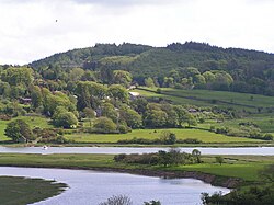
Urr Water or River Urr (arc. River Orr) is a river which flows through the counties of Dumfriesshire and Kirkcudbrightshire in southwest Scotland.
Course
Entirely within Dumfries and Galloway, the Urr Water originates at Loch Urr and flows for thirty-five miles southwards past Corsock, Glenlair, Auchendolly, Bridge of Urr, Haugh of Urr, and close to Dalbeattie, via Palnackie to the Solway Firth at Rough Firth. The village of Kippford stands near the head of the firth where the Urr Water reaches the sea; the only other coastal settlement of any size is Rockcliffe. The principal settlement on the river is Dalbeattie. The river is noted for salmon fishing.1
Etymology
The name 'Urr' is from Cumbric or 'a border, boundary, limit'.2
Gallery
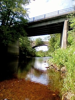
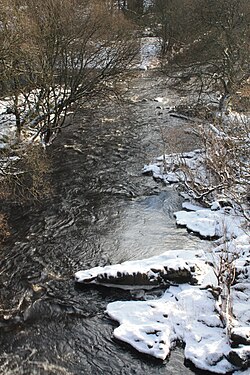
- Urr Water
-
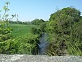 Urr Water upstream, 2007 - View from old Ramhill bridge near Haugh of Urr
 -
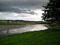 Urr Water near Palnackie, 2005
- Urr Estuary
-
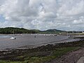 Yachts moored in Urr Water estuary, (Rough Firth, near Kippford), 2005
 -
 Urr Water estuary, 2006
 -
 Urr Water estuary, 2006
References
References
- River Urr, glenlair.org.uk
- James, Alan G. (2014). The Brittonic Language in the Old North: A Guide to the Place-name Evidence (PDF). Vol. 2: Guide to the Elements. p. 299. Archived from the original (PDF) on 11 September 2014.