| The Uraltau range | |
|---|---|
 | |
| Highest point | |
| Peak | Arvakryaz |
| Elevation | 1,068 m (3,504 ft) |
| Dimensions | |
| Length | 290 km (180 mi) |
| Width | 10–20 km (6.2–12.4 mi) |
| Geography | |
Country | Russia |
| Geology | |
| Rock age | Carboniferous |
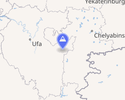
The Uraltau range (Russian: хребет Уралтау; Bashkir: Уралтау һырты) is a mountain range that runs in the Southern Ural from the Baymaksky District to the Zlatoust.
References
References
External links
External links
- Peakbagger.com page on the Ural Mountains
- Ural Expeditions & Tours page on the five parts of the Ural Mountains