Uljma
Уљма | |
|---|---|
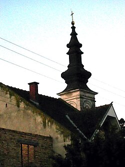 The Orthodox Church | |
Uljma Location of Uljma within Serbia Show map of VojvodinaUljma Uljma (Serbia) Show map of SerbiaUljma Uljma (Europe) Show map of Europe | |
| Coordinates: 45°02′17″N 21°09′13″E / 45.03806°N 21.15361°E / 45.03806; 21.15361 | |
| Country | |
| Province | |
| District | South Banat |
| Municipality | |
| Elevation | 89 m (292 ft) |
| Population (2022) | |
• Uljma | 2,9051 |
| Time zone | UTC+1 (CET) |
| • Summer (DST) | UTC+2 (CEST) |
| Postal code | 26330 |
| Area code | +381(0)13 |
| Car plates | VŠ |
Uljma (Serbian Cyrillic: Уљма; Hungarian: Homokszil) is a village in Serbia. It is situated in the Vršac municipality, in the South Banat District, Vojvodina province. The village has a Serb ethnic majority (83.01%) with a present Romanian minority (11.11%) and its population numbering 3,089 people (2011 census).
History
Bronze Age graves of steppe nomads was found in the village.2
Geography
Uljma is situated between villages Vlajkovac, Izbište and Nikolinci.
Historical population
- 1961: 4,237
- 1971: 4,391
- 1981: 4,115
- 1991: 3,961
- 2002: 3,598
- 2011: 3,089
- 2022: 2,905
References
References
- "Age and Sex - Data by settlements" (PDF). publikacije.stat.gov.rs.
- "[Projekat Rastko] Dragoslav Srejovic: Kulture bakarnog i ranog bronzanog doba na tlu Srbije".
- Slobodan Ćurčić, Broj stanovnika Vojvodine, Novi Sad, 1996.