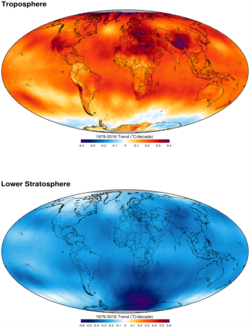
Trend surface analysis, also known as trend surface mapping, is a mathematical technique used in archaeology and environmental sciences such as geology and soil science. The method involves using low-order polynomials of spatial coordinates to estimate a regular grid of points from scattered observations such as archeological finds or soil survey results.1
References
References
- Agterberg, Frits P. (1984), "Trend Surface Analysis", in Gaile, Gary L.; Willmott, Cort J. (eds.), Spatial Statistics and Models, Dordrecht: Springer Netherlands, pp. 147–171, doi:10.1007/978-94-017-3048-8_8, ISBN 978-90-481-8385-2, retrieved 2024-04-20