Titawi | |
|---|---|
village | |
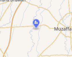 Interactive map of Titawi | |
| Country |  India India |
| State | Uttar Pradesh |
| District | Muzaffarnagar |
| Languages | |
| • Official | Hindi & Khadi Bhasa |
| Time zone | UTC+5:30 (IST) |
| PIN | 251306 |
| Vehicle registration | UP |
| Nearest city | Muzaffarnagar |
| Lok Sabha constituency | Muzaffarnagar |
| Vidhan Sabha constituency | Baghra |
| Website | up |
| In this village, There are many communities like hindu (Jaat, Kashyap, Harijan, Balmiki, Upadhayay, Julahe, Kumhar & Mushlim etc.) | |
Titawi is a village in Muzaffarnagar within the Muzaffarnagar district of Uttar Pradesh, India. As of 2006, it had a population of approximately 8,000 within 1,000 households. It is some 15 km from the district headquarters.
Economy
Titawi is developing as an industrial village. Most notable is the Titawi sugar mill.1 It is conveniently near Baghra, which grows sugarcane. Titawi provides a bus terminal for nearby villages.
References
References
- "TITAWI SUGAR MILL | Baghra Google Satellite Map". Maplandia.com. Retrieved 11 November 2008.