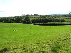
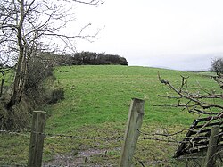
Tattycor is a townland in County Tyrone, Northern Ireland. It is situated in the barony of Omagh East and the civil parish of Dromore and covers an area of 355 acres.1
The name derives from the Irish: An Táite Corr (the odd or prominent tate (a land division)).2
In 1841 the population of the townland was 204 people (37 houses) and in 1851 it was 137 people (31 houses).3
The townland contains one Scheduled Historic Monument: a Rath (grid ref: H3976 6232).4
References
References
- "Townlands of County Tyrone". IreAtlas Townland Database. Retrieved 23 December 2012.
- "Tattycor". Place Names NI. Retrieved 23 December 2012.
- "Census of Ireland 1851". Enhanced Parliamentary Papers on Ireland. Archived from the original on 13 April 2020. Retrieved 23 December 2012.
- "Scheduled Historic Monuments (to 15 October 2012)" (PDF). NI Environment Agency. Retrieved 23 December 2012.