Tarabo
তারাবো | |
|---|---|
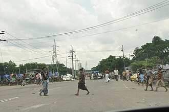 Tarabo-Demraghat Road within the city | |
Tarabo Tarabo | |
| Coordinates: 23°43′23″N 90°30′25″E / 23.72306°N 90.50694°E / 23.72306; 90.50694 | |
| Country | |
| Division | Dhaka |
| District | Narayanganj |
| Upazila | Rupganj |
| Government | |
| • Type | Municipal corporation |
| Elevation | 6 m (20 ft) |
| Population (2022) | |
• Total | 197,658 |
| Time zone | UTC+6 (BST) |
| Postal code | 1460 |

Tarabo (Bengali: তারাবো) is a municipal city in Rupganj Upazila in Narayanganj District, Bangladesh. The city has a population of 197,658. Which makes it the 25th largest city in Bangladesh. BSCIC Industrial Town and Research Centre is located at Tarabo municipality.1
Demographics
According to the 2022 Bangladesh census, Tarabo Paurashava had 57,045 households and a population of 197,672. Tarabo had a literacy rate of 77.54%: 79.33% for males and 75.53% for females, and a sex ratio of 111.00 males per 100 females. 8.76% of the population was under 5 years of age.2
According to the 2011 Bangladesh census, Tarabo city had 38,612 households and a population of 150,709. 29,826 (19.79%) were under 10 years of age. Tarabo had a literacy rate (age 7 and over) of 57.66%, compared to the national average of 51.8%, and had 69,621 females for a sex ratio of 859 females per 1000 males.3
References
References
- "Major markets of woven fabric in Bangladesh". The Financial Express. Retrieved 1 June 2020.
- Population and Housing Census 2022 - Community Report: Narayanganj (PDF). Community Report. Dhaka: Bangladesh Bureau of Statistics. June 2024. ISBN 978-984-475-307-5.
- "Population & Housing Census 2011 (Zila Series & Community Series)". bbs.gov.bd. Bangladesh Bureau of Statistics.