Tantonan | |
|---|---|
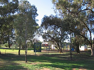 Education in Tantonan is provided by Bunnaloo Public School | |
Tantonan | |
| Coordinates: 35°42′S 144°33′E / 35.700°S 144.550°E / -35.700; 144.550 | |
| Country | Australia |
| State | New South Wales |
| LGA | |
| Location | |
| Government | |
| • State electorate | |
| • Federal division | |
| Population | |
| • Total | 15 (SAL 2021)2 |
| Postcode | 2731 |
| County | Cadell |
Tantonan is a rural locality in the central south part of the Riverina, New South Wales, Australia.3 It is situated by road, about 8 kilometres north west from Caldwell and 13 kilometres south east from Bunnaloo.
Tantonan Post Office opened on 21 June 1926 and closed in 1962.4
Local education is provided by the Bunnaloo Public School.5
References
References
- Australian Bureau of Statistics (28 June 2022). "Tantonan (suburb and locality)". Australian Census 2021 QuickStats. Retrieved 28 June 2022.
- Australian Bureau of Statistics (28 June 2022). "Tantonan (suburb and locality)". Australian Census 2021 QuickStats. Retrieved 28 June 2022.
- "Tantonan". Geographical Names Register (GNR) of NSW. Geographical Names Board of New South Wales. Retrieved 4 August 2013.
- Phoenix Auctions History. "Post Office List". Retrieved 7 February 2021.
- "Bunnaloo Public School". Retrieved 7 February 2021.