Statland | |
|---|---|
Village | |
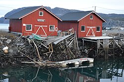 View of the village | |
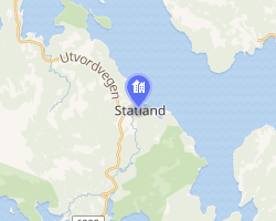 Interactive map of Statland | |
Statland Statland | |
| Coordinates: 64°29′44″N 11°08′45″E / 64.4955°N 11.1458°E / 64.4955; 11.1458 | |
| Country | Norway |
| Region | Central Norway |
| County | Trøndelag |
| District | Namdalen |
| Municipality | Namsos Municipality |
| Elevation | 31 m (102 ft) |
| Time zone | UTC+01:00 (CET) |
| • Summer (DST) | UTC+02:00 (CEST) |
| Post Code | 7777 Nord-Statland |
Statland2 is a village in the western part of Namsos Municipality in Trøndelag county, Norway. The village lies along the Namsenfjorden, about 10 kilometres (6.2 mi) north of the village of Tøttdalen. The village has a school and Statland Church. The island of Otterøya lies across the fjord from Statland.3
References
References
- "Statland, Namdalseid (Trøndelag)". yr.no. Retrieved 2018-04-15.
- "Informasjon om stadnamn". Norgeskart (in Norwegian). Kartverket. Retrieved 2024-11-16.
- Rosvold, Knut A., ed. (2018-02-01). "Statland". Store norske leksikon (in Norwegian). Kunnskapsforlaget. Retrieved 2018-04-15.