Sandy Point 221 | |
|---|---|
| Sandy Point Indian Reserve No. 221 | |
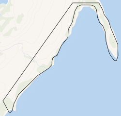 Boundaries of Sandy Point 221 | |
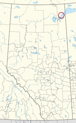 Location in Alberta | |
| First Nation | Mikisew Cree |
| Treaty | 8 |
| Country | Canada |
| Province | Alberta |
| Specialized municipality | Wood Buffalo |
| Area | |
• Total | 204 ha (500 acres) |
| Time zone | UTC−06:00 (Alberta Time) |
Sandy Point 221 is an Indian reserve in Alberta.3 It is located 248 kilometres (154 mi) northeast of Fort McMurray. It is at an elevation of 212 metres (696 ft).
References
References
- "Reserve/Settlement/Village Detail". Crown–Indigenous Relations and Northern Affairs Canada. Government of Canada. 14 November 2008. Retrieved August 12, 2019.
- "Census Profile, 2016 Census". Statistics Canada. February 8, 2017. Retrieved 2019-08-10.
- "Sandy Point 221". Statistics Canada. 2001. Retrieved 6 January 2010.
58°56′28″N 110°44′17″W / 58.941°N 110.738°W / 58.941; -110.738 (Sandy Point 221)