Pumpkin Patch Brook is a stream in Union and Middlesex counties in the U.S. state of New Jersey.1 It is a tributary of Robinson's Branch of the Rahway River.
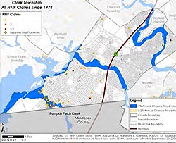
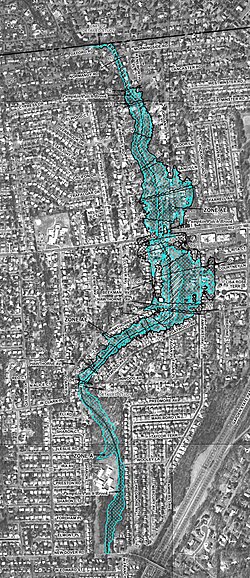
It flows north from Woodbridge Township into Clark Township. At its mouth into Robinson's Branch there is a wetlands. It is frequently inundated by backflow from Robinson's Branch; generally only "relatively moderate" flooding is seen along this brook. Most of the flooding in Clark originates from Pumpkin Patch Brook. Severe fluvial flooding in both Clark Township and Woodbridge Township can be seen with hurricanes and nor'easters.2 Suburban development in both townships has increased surface water run-off over impervious land with "over the bank" flooding along the brook.3
References
References
- "Pumpkin Patch Brook". Geographic Names Information System. United States Geological Survey, United States Department of the Interior. Retrieved March 11, 2020.
- "Clark Township flood plans" (PDF). uncj. January 24, 2014. Retrieved January 26, 2020.
- "Woodbridge floodplain". twp.woodbridge.nj.us. Retrieved January 16, 2020.
40°36′44″N 74°20′35″W / 40.61232°N 74.34311°W / 40.61232; -74.34311