| Pindar | |
|---|---|
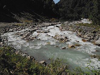 Pindar river during month of September 2011 | |
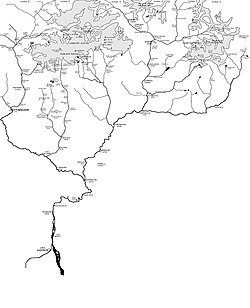 Pinder River in far right | |
| Location | |
| Country | India |
| State | Uttarakhand |
| Region | Kumaon division |
| District | Bageshwar, Chamoli |
| Physical characteristics | |
| Source | Pindari Glacier |
| • coordinates | 30°17′N 80°01′E / 30.283°N 80.017°E / 30.283; 80.017 |
| • elevation | 3,820 m (12,530 ft) |
| Mouth | Alaknanda |
• location | Karnaprayag, Uttarakhand |
• coordinates | 30°15′49″N 79°13′00″E / 30.26361°N 79.21667°E / 30.26361; 79.21667 |
• elevation | 1,450 m (4,760 ft) |
| Length | 105 km (65 mi) |
| Basin features | |
| Tributaries | |
| • right | Kali Ganga |
The Pindar River is a river located in Uttarakhand, India. The Pindar originates from Pindari Glacier which is located in Bageshwar district of Kumaon region in Uttarakhand.1 The source of this river, the Pindar glacier is located at an altitude of 3,820 m (12,530 ft). Pindar glacier has relatively easier access and has been documented well for its retreat over 100 years.2 Pindar river mouth is located at Karnaprayag where it flows into Alaknanda River.
Gallery
-
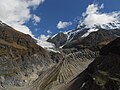 Origin from Pindari Glacier
 -
 Pindari river from Dwali
 -
 Confluence of Alaknanda and Pindar from bottom
 -
 Pinder River (far right) in the map showing The Himalayan headwaters of the Ganges river in Uttarakhand
References
References
- "Pindar river in Uttarakhand". Archived from the original on 5 July 2019. Retrieved 5 July 2019.
- "Pindari Glacier". Retrieved 5 July 2019.