Mshewa Ward
Kata ya Mshewa (Swahili) | |
|---|---|
| Kata ya Mshewa, Wilaya ya Same | |
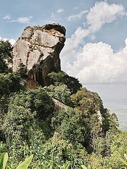 Malameni Rock, Mshewa Ward, Same | |
Mshewa Ward | |
| Country | Tanzania |
| Region | Kilimanjaro Region |
| District | Same District |
| Area | |
• Total | 34.5 km2 (13.3 sq mi) |
| Elevation | 1,221 m (4,006 ft) |
| Population (2012) | |
• Total | 6,154 |
| • Density | 178/km2 (462/sq mi) |
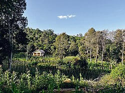
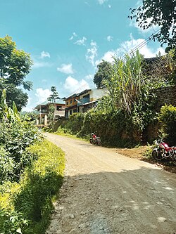


Mshewa is an administrative ward in Same District of Kilimanjaro Region in Tanzania. The ward covers an area of 34.5 km2 (13.3 sq mi),1 and has an average elevation of 1,221 m (4,006 ft).2 According to the 2012 census, the ward has a total population of 6,154.3
References
References
- "Tanzania: Northern Tanzania (Districts and Wards) – Population Statistics, Charts and Map".
- "Mshewa Ward Elevation".
- "2012 Population and Housing Census General Report" (PDF). Government of Tanzania. Retrieved 2022-02-21.