Mobayi-Mbongo | |
|---|---|
Mobayi-Mbongo | |
| Coordinates: 4°18′00″N 21°10′48″E / 4.300°N 21.180°E / 4.300; 21.180 | |
| Country |  DR Congo DR Congo |
| Province | Nord-Ubangi |
| Territory | Mobayi-Mbongo |
| Population (2012) | |
• Total | 5,640 |
| Time zone | UTC+1 (WAT) |
| National language | Lingala |
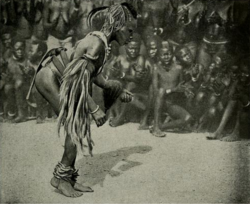
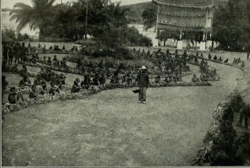
Mobayi-Mbongo, formerly known as Banzyville or Banzystad, is a town in Nord-Ubangi Province, in the northwestern part of the Democratic Republic of the Congo, on the Ubangi River. It lies opposite the Central African town of Mobaye.1 It is the administrative center of the territory of the same name. As of 2012 the estimated population was 5,640.2
A small hydroelectric power station was opened in 1989, with some of the power being exported to the CAR.3
References
References
- Blaes, X. (October 2008). "Découpage administratif de la République Démocratique du Congo" (PDF). PNUD-SIG. Archived from the original (PDF) on 2010-04-01. Retrieved 2011-12-09.
- "Mobayi-Mbongo". World Gazetteer. Retrieved 2012-01-31.
{{cite web}}: CS1 maint: deprecated archival service (link) - Europa Publications Limited (2002). Africa South of the Sahara 2003. Routledge. ISBN 1-85743-131-6.