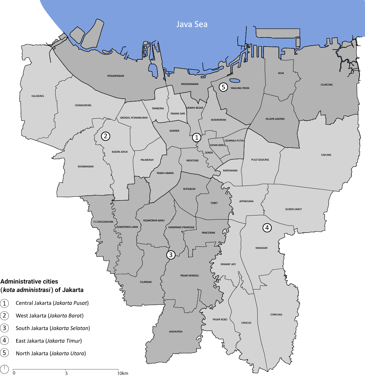
Matraman is a district (kecamatan) of East Jakarta, Indonesia. Matraman is the smallest district of East Jakarta. The boundaries of Matraman are: Bekasi Barat Raya Road to the south, Prof Wiyoto Witono MSc Highway to the east, Pramuka Road to the north, and Ciliwung River to the west.1
Kelurahan (Administrative Villages)
The district of Matraman is divided into six Kelurahan ("Administrative Villages"):
- Pisangan Baru - area code 13110
- Utan Kayu Selatan - area code 13120
- Utan Kayu Utara - area code 13120
- Kayu Manis - area code 13130
- Pal Meriam - area code 13140
- Kebon Manggis - area code 13150
List of important places
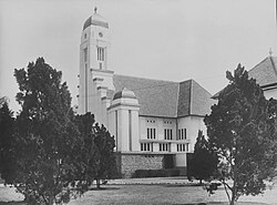
- Gereja St Yosep ("St Joseph Church")
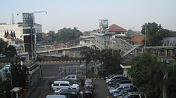
- Jatinegara Station
- Pasar Burung Pramuka (Pramuka Birds Market)
- Pasar Pramuka (Pramuka Market), medicines wholesale market
- Gramedia Matraman Bookstores
- Matraman Station