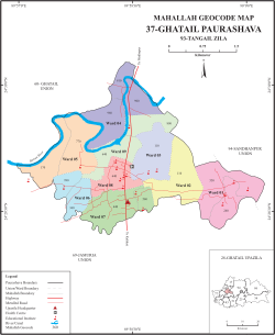
Ghatail
ঘাটাইল | |
|---|---|
Town | |
Ghatail | |
| Coordinates: 24°28′52″N 89°58′23″E / 24.481195°N 89.973180°E / 24.481195; 89.973180 | |
| Country | Bangladesh |
| Division | Dhaka Division |
| District | Tangail District |
| Upazila | Ghatail Upazila |
| Government | |
| • Type | Pourashava |
| • Mayor | Md Manjurul Haque (Bangladesh Awami League) |
| Area | |
• Total | 8.08 km2 (3.12 sq mi) |
| Population (2011) | |
• Total | 35,245 |
| • Density | 4,360/km2 (11,300/sq mi) |
| Time zone | UTC+6 (BST) |
| Postal codes | 1980 |
| Area code | 9225 |
| Website | ghatail |
Ghatail (Bengali: ঘাটাইল) is a town of Ghatail Upazila, in Tangail District, Bangladesh. The town is situated 33 kilometres (21 mi) north of Tangail city and 114 kilometres (71 mi) northwest of Dhaka, the capital of Bangladesh.
Demographics
According to the 2011 Bangladesh census, Ghatail town had 7,668 households and a population of 35,245.1
The literacy rate (age 7 and over) was 72.1% (77.6% for males, 65.1% for females).2
References
References
- "Population Census 2011: Tangail Table C-01" (PDF). Bangladesh Bureau of Statistics. Archived from the original (PDF) on 2 December 2016. Retrieved 1 March 2016.
- "Population Census 2011: Tangail Table C-06" (PDF). Bangladesh Bureau of Statistics. Archived from the original (PDF) on 2 December 2016. Retrieved 1 March 2016.