Cartes | |
|---|---|
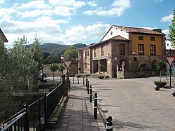 Cartes' Consistorial House | |
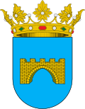 Coat of arms | |
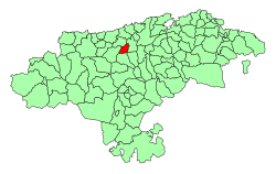 Location of Cartes | |
Cartes Cartes (Spain) Show map of Spain | |
| Coordinates: 43°19′32″N 4°4′5″W / 43.32556°N 4.06806°W / 43.32556; -4.06806 | |
| Country |  Spain Spain |
| Autonomous community |  Cantabria Cantabria |
| Province | Cantabria |
| Comarca | Besaya valley |
| Judicial district | Torrelavega |
| Capital | Cartes |
| Government | |
| • Alcalde | Saturnino Castanedo Saiz (2007) (PSC-PSOE) |
| Area | |
• Total | 19.02 km2 (7.34 sq mi) |
| Elevation | 40 m (130 ft) |
| Population (2025-01-01)1 | |
• Total | 5,874 |
| • Density | 308.8/km2 (799.9/sq mi) |
| Time zone | UTC+1 (CET) |
| • Summer (DST) | UTC+2 (CEST) |
| Postal code | 39311 |
| Website | Official website |
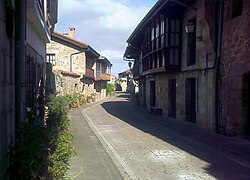
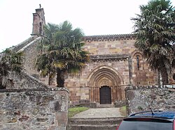
Cartes is a municipality located in the autonomous community of Cantabria, Spain. According to the 2009 census, the city has a population of 5.118 inhabitants.
References
References
- National Statistics Institute (13 December 2025). "Municipal Register of Spain of 2025".