Aviatico | |
|---|---|
| Comune di Aviatico | |
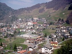 View of Aviatico | |
 Coat of arms | |
Aviatico Location of Aviatico in Italy Show map of ItalyAviatico Aviatico (Lombardy) Show map of Lombardy | |
| Coordinates: 45°47′N 9°46′E / 45.783°N 9.767°E / 45.783; 9.767 | |
| Country | Italy |
| Region | Lombardy |
| Province | Province of Bergamo (BG) |
| Frazioni | Ama, Amora, Ganda |
| Area | |
• Total | 8.4 km2 (3.2 sq mi) |
| Elevation | 1,022 m (3,353 ft) |
| Population (Dec. 2004)2 | |
• Total | 496 |
| • Density | 59/km2 (150/sq mi) |
| Demonym | Aviatichesi |
| Time zone | UTC+1 (CET) |
| • Summer (DST) | UTC+2 (CEST) |
| Postal code | 24020 |
| Dialing code | 035 |
Aviatico (Bergamasque: Aviàdech) is a comune (municipality) in the Province of Bergamo in the Italian region of Lombardy, located about 60 kilometres (37 mi) northeast of Milan and about 12 kilometres (7 mi) northeast of Bergamo. As of 31 December 2007, it had a population of 515 and an area of 8.4 square kilometres (3.2 mi2).3
The municipality of Aviatico contains the frazioni (subdivisions, mainly villages and hamlets) Ama, Amora, and Ganda.
Aviatico borders the following municipalities: Albino, Algua, Costa di Serina, Gazzaniga, Selvino.
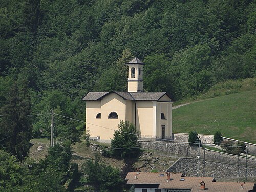
Demographic evolution
Historical population | |||||||||||||||||||||||||||||||||||||||||||||||||||||
|
|
| |||||||||||||||||||||||||||||||||||||||||||||||||||
 | |||||||||||||||||||||||||||||||||||||||||||||||||||||
| Source: Data from ISTAT | |||||||||||||||||||||||||||||||||||||||||||||||||||||
References
References
- "Superficie di Comuni Province e Regioni italiane al 9 ottobre 2011". Italian National Institute of Statistics. Retrieved 16 March 2019.
- "Popolazione Residente al 1° Gennaio 2018". Italian National Institute of Statistics. Retrieved 16 March 2019.
- All demographics and other statistics: Italian statistical institute Istat.